



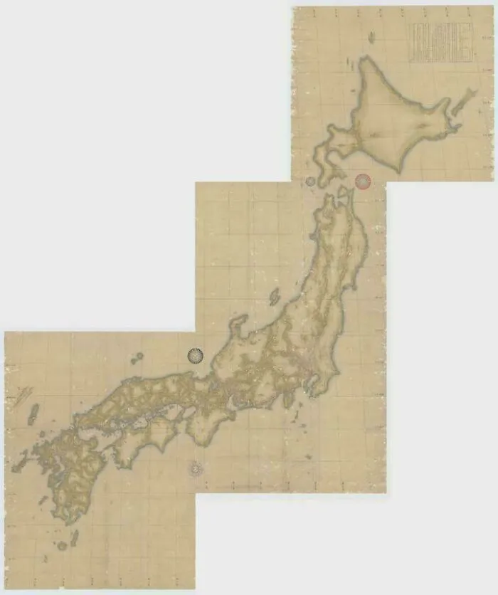
#2 An Elderly Man Measured Distances On Foot To Create This Japanese Map, Completed In 1821
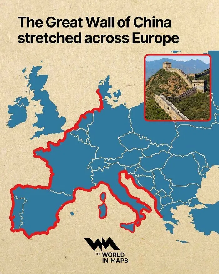
#3 Map Showing The Length Of The Great Wall Of China In Comparison To The Coastline Of Mainland Europe
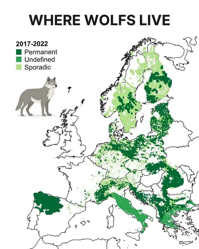
These maps weren’t just created out of sheer curiosity. Sure, they’re made by people who are fascinated by fun facts, but gathering the necessary data is a real job with some important rules behind it. For a map that tracks the presence of wolves, for instance, wildlife tracking and biological sampling create these thematic maps.
In Europe, the LCIE, or the Large Carnivore Initiative for Europe, analyzes DNA samples and camera-trap logs for its data. EU member states must also report on the conservation status of protected species every six years, adding to the available statistics and numbers. All of this is public information that netizens can access and use to create their own maps and data visualizations.
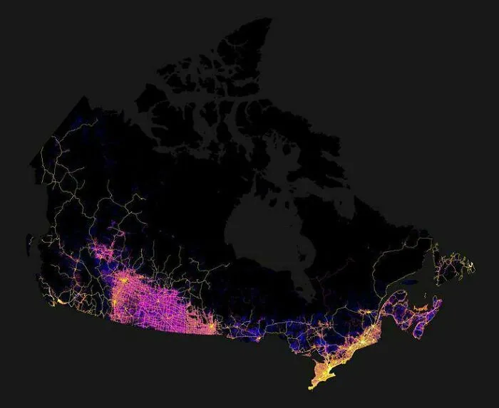
But why do people create these maps in the first place? Well, according to psychologists, it all comes down to mild anxiety. No joke. The human brain is constantly trying to reduce uncertainty. This means the unknown and the unpredictable can be daunting for most people, so seeing aggregated data is a way for your brain to organize information and feel more comfortable.
Charles Berger and Richard Calabrese developed this theory in 1975. In their book, they detail how humans actively search for information to eliminate ambiguity. This way, they can gain a sense of control over unpredictable environments and organize facts that would otherwise trigger anxiety.
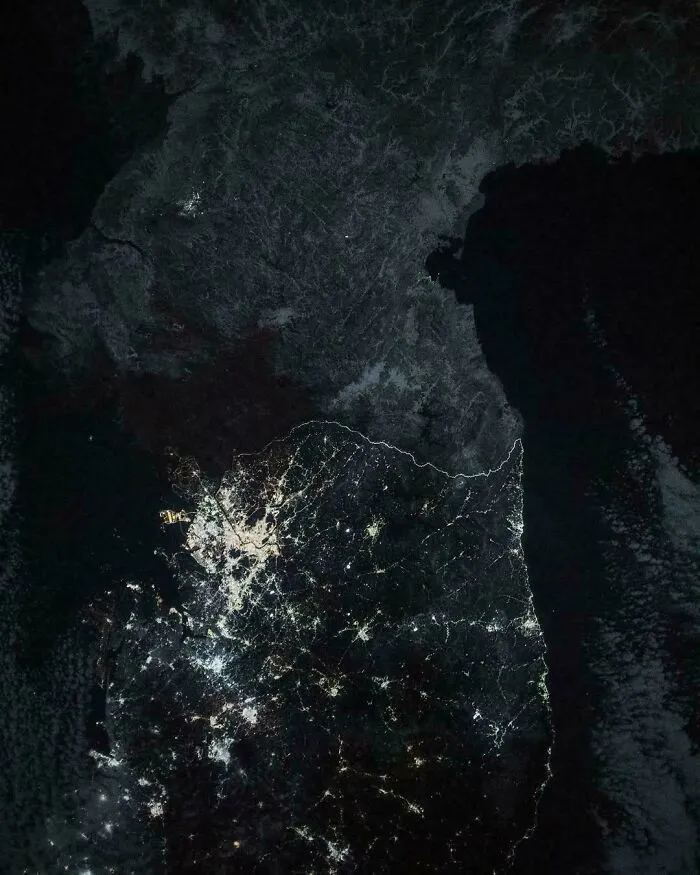
#8 An Astronaut Captured This Image Of North And South Korea At Night, With The Border Visible From Space
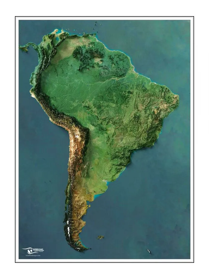
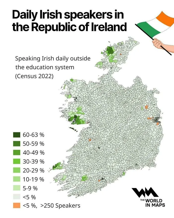
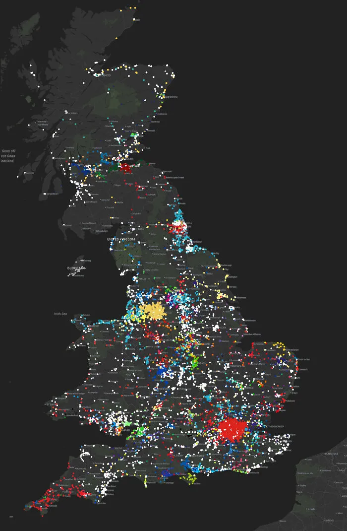
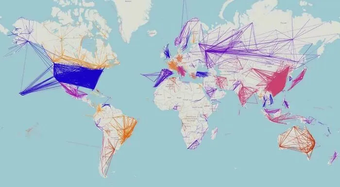
Curiously, though, map creation can almost be seen as a tool for human safety. In 1948, Edward C. Tolman developed the theory that both people and animals build internal spatial representations of the environments they live in. By creating these “cognitive maps,” as he called them, they can navigate threats and rewards.
This doesn’t necessarily mean it’s a map to follow or a way to pinpoint where a threat is. The reward can simply be the feeling of security that comes from knowing where you are going and what to expect along the way. Ultimately, it’s a tool designed to make information visually intuitive.
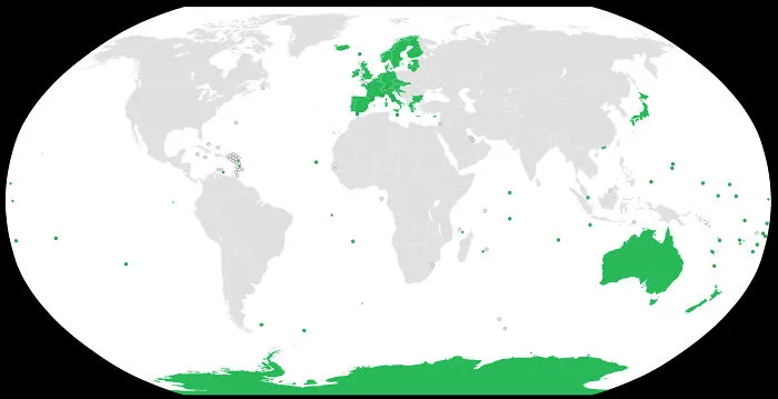
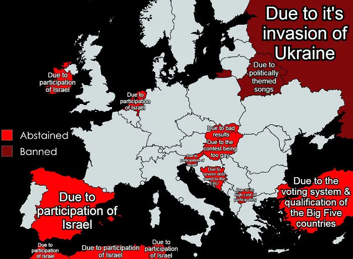
#14 Countries That Won't Participate In Eurovision 2026 & Their Reasoning
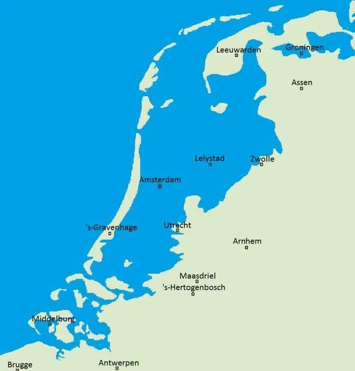
#15 What The Netherlands Would Naturally Look Like If They Hadn't Built Any Dikes To Prevent Flooding
While we can now access any and every map, this navigation tool actually dates back to prehistoric times, showing how important they were for mental orientation. Historians believe the earliest surviving depiction of the known world as a geographical map is the Babylonian Map of the World, often called the Imago Mundi.
It was originally discovered in Sippar, Iraq, and etched onto a small clay tablet. Granted, it doesn’t necessarily look like our standard map, though. It places Babylon right at the center of a circle, with triangles beyond the river that are thought to represent mythical lands or islands that people didn’t recognize or know much about at the time.